
Publisher's Synopsis
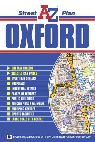
This A-Z map of Oxford is a full colour, single sided street map covering an area extending to:•Oxford Pear Tree Service Area•Cutteslowe•Risinghurst•Blackbird Leys•Kennington•Botley•WythamThere is also a large scale city centre map of Oxford.Postcode districts, one-way streets, safety camera locations with maximum speed limits, selected places of interest and a wide range of ancilliary information is featured on the street mapping.The index section, adjacent to the mapping, lists streets, selected flats, walkways and places of interest, place and area names, park and ride sites, Oxford University Colleges, National Rail stations, hospitals and hospices covered by this map.This A-Z map of Oxford is ideal for both general use and for exploring the historic heart of the city.


