
Publisher's Synopsis
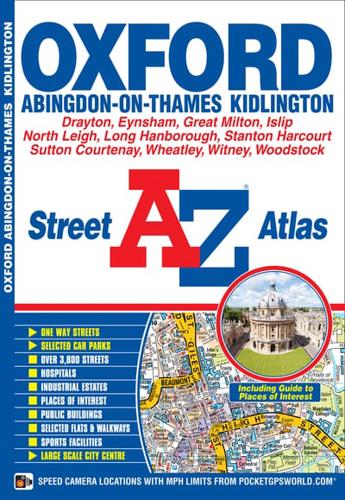
This newA-Z map of Oxford is a full colour street atlas and for the first time, features a places of interest guide. Now with extended coverage, this publication has 48 pages of continuous street mapping to include:•Woodstock•Kidlington•Wheatley•Abingdon•Drayton•Eynsham•North LeighIn addition, there is seperate coverage of Witney, Ducklington and Stanton Harcourt, and a large scale map of Oxford City Centre.Postcode districts, one-way streets and safety camera locations with their maximum speed are also featured on the mapping.The places of interest guide is both informative and helpful with information about:•Tourist Information Centres•Tours and boat trips•Boat and punt hire•Selected places of interest•Oxford University CollegesThe index section lists streets, selected flats, walkways and places of interest, place, area and station names, hospitals and hospices covered by this atlas.This atlas is ideal, not only for navigating around Oxford, but for exploring this historic city.


