Publisher's Synopsis
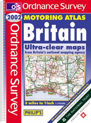
A brand-new edition of the best-selling Motoring Atlas of Britain, using fully-updated computer-generated mapping from the Ordnance Survey - Britain's national mapping agency. The 111 pages of main road mapping are at the popular scale of 3 miles to 1 inch, and the atlas also includes route-planning maps, an M25 map, 8 large-scale city approach maps and 44 extra-detailed town and city plans. Numerous additional features include restricted motorway junction information, a distances chart, local radio information and a Central London street plan. A special feature of the atlas is its wealth of tourist and leisure information. This edition retains a special Millennium Projects Listing - detailing events and attractions throughout the nation. The atlas also features complete directories of properties from the National Trust, National Trust for Scotland, English Heritage, Historic Scotland and details of gardens open to the public from the Royal Horticultural Society and an Events Diary from the British Tourist Authority. Also included is a map detailing National and Forest Parks and Long Distance Paths.


