Publisher's Synopsis
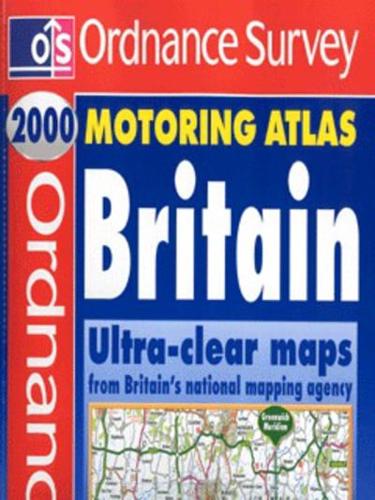
Ordnance Survey digitally-mapped data was used to create this motoring atlas of Britain, at a scale of three inches to the mile. There are several additional features, such as restricted motorway junction information, a distances chart, local radio information and a Millennium Events diary. The atlas contains route planning maps, an M25 map, eight large-scale city approach maps, and 45 detailed town and city plans. Finally, the atlas has complete directories of properties from the National Trust, National Trust for Scotland, English Heritage and Historic Scotland, and details of gardens open to the public from the Royal Horticultural Society.


