Publisher's Synopsis
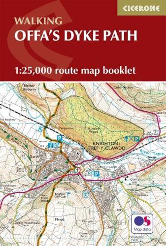
A booklet of all the mapping needed to complete Offa's Dyke Path National Trail, following Britain's longest ancient monument: the eighth century earthwork that once marked the boundary between the Anglo-Saxon kingdom of Mercia and the Welsh kingdoms to the east. The 285km (177 mile) route from Sedbury Cliffs near Chepstow to Prestatyn is suitable for walkers of most abilities.
- The full route line is shown on 1:25,000 OS maps
- The map booklet can be used to walk the trail in either direction
- Sized to easily fit in a jacket pocket
- The relevant extract from the OS Explorer map legend is included
- An accompanying Cicerone guidebook - Offa's Dyke Path is also available, which includes a copy of this map booklet