Northern Ireland Road Map

Northern Ireland Road Map

New edition

Sheet Map (folded) (06 Mar 2006)

Not available for sale

Includes delivery to the United States

Out of stock

This service is protected by reCAPTCHA and the Google Privacy Policy and Terms of Service apply.

Publisher's Synopsis

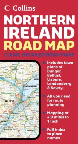
4.5 miles to 1 inch 1:288,000. This clear, colourful mapping has been fully updated and respecified for this edition. Tourist information has been added along with an even more comprehensive range of settlements.MAIN FEATURES• Extra large mapping at 4.5 miles to 1 inch• Exceptionally clean and clear mapping• Full index to place namesINCLUDES• Colour classified roads• Distances between towns• Railways and stationsAREA OF COVERAGECovers the whole of Northern Ireland plus Donegal and as far south as Dundalk.WHO THE PRODUCT IS OF INTEREST TOThe clear, detailed mapping make this an ideal purchase for both residents and visitors.

About the Publisher

Collins

Collins

Collins has been publishing educational and informative books for almost 200 years. Throughout this rich heritage we have maintained an impressive record in creating market-leading products across various sectors.

Book information

ISBN: 9780007204243
Publisher: HarperCollins Publishers
Imprint: Collins
Pub date:
Edition: New edition
Language: English
Weight: 95g
Height: 250mm
Width: 135mm
Spine width: 3mm