North Wales Coast Path

North Wales Coast Path 1:25,000 Scale Ordnance Survey Mapping for the Wales Coast Path - OS Map Books. Wales Coast Path

Paperback (14 Jul 2020)

Save $1.47

  • RRP $12.55
  • $11.08
Add to basket

Includes delivery to the United States

10+ copies available online - Usually dispatched within two working days

Publisher's Synopsis

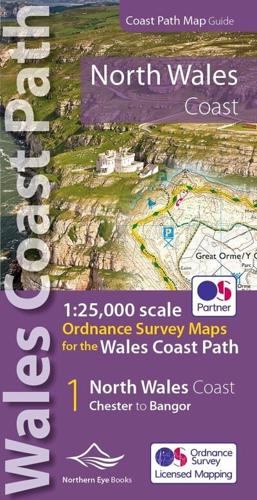
One of seven handy, lightweight, pocket sized map books covering the whole of the 870 mile/1400 kilometre Wales Coast Path. This volume covers North Wales from Chester to Bangor and includes enhanced large scale (1:25,000) Ordnance Survey mapping in a handy atlas format, with extracts from large scale Explorer maps 266, 265, 264 and OL17. The official route of the Wales Coast Path is highlighted and on-map symbols show amenities at main towns and villages. There is an introduction and additional useful information.
Book information

ISBN: 9781908632586
Publisher: Northern Eye Books Ltd
Imprint: Northern Eye Books
Pub date:
DEWEY: 912.4291
DEWEY edition: 23
Language: English
Number of pages: 48
Weight: 80g
Height: 112mm
Width: 213mm
Spine width: 7mm