
Publisher's Synopsis
This updated map of northern England and the Scottish borders is ideal for traveling through both cities and the country
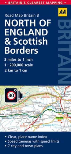
Fully updated, this map combines clear design and an easy-to-read scale with more road detail to ensure that you never lose your way. Each map includes information on toll points, service areas, road numbers, motorways, dual carriageways, and wide and narrow local roads, as well as the London M25 orbital motorway. National Parks and places of interest are also highlighted. The scale is 1:200,000 (1cm to 2 km), giving great detail. There is also a mileage chart included, along with a 4,500-place name index.
Fully updated, this map combines clear design and an easy-to-read scale with more road detail to ensure that you never lose your way. Each map includes information on toll points, service areas, road numbers, motorways, dual carriageways, and wide and narrow local roads, as well as the London M25 orbital motorway. National Parks and places of interest are also highlighted. The scale is 1:200,000 (1cm to 2 km), giving great detail. There is also a mileage chart included, along with a 4,500-place name index.


