
Publisher's Synopsis
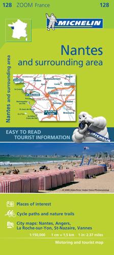
(Edition updated in 2019) The MICHELIN zoom map Nantes & surrounding areas is the ideal travel companion to fully explore this French tourist destination thanks to its easy-to-use format and its scale of 1/150,000. The map covers the areas and cities of annes, St-Nazaire, Angers, Nanates, La Rouche-S-Yon The Zoom collection are characterized by the high precision of their detailed scale, specially adapted for very touristy areas or with a high density road network, including new developments and industrial areas. In addition to clarity, reliability and up-to-date information, all Michelin cartography features include a wealth of practical information: places and monuments of tourist interest, picturesque tours, areas for sports and leisure activities ... Useful plans of cities and a practical index of localities. Also the maps contain places of interest and signposting of tracks for bicycles and green-ways. MICHELIN ZOOM MAPS are perfect to discover major tourist areas, with a high level of details in an easy to use format. They nicely complement our Michelin Guides and include: * Various leisure activities, such as water parks, tourist trains, horse racing, etc * Scenic routes and tourist sights crossed referenced with the famous Michelin's Green Guides * Camping sites information from Michelin's Camping Guides * Hotel information from the world famous MICHELIN Guides.


