
Publisher's Synopsis
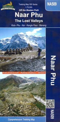
This topographic Map 1:75.000 shows the upper Marsyangi valley from Dharapani to Manang , over the Thorong la till Jomsom. it also shows the side trek to Naar and Phu(gaon) which gave it its name. Additionally the trails leading to Pisang Peak and the four Chulus are marked. for this reason this is not only a map if you want to go to Naar &Phu but also it is very suited if you want to enjoy mainly the upper Manang region having a better scale than the aound Annapurna map. The new NATT trails (Naturall Annapurna Trekking Trail) which avoid the road are shown.


