
Publisher's Synopsis
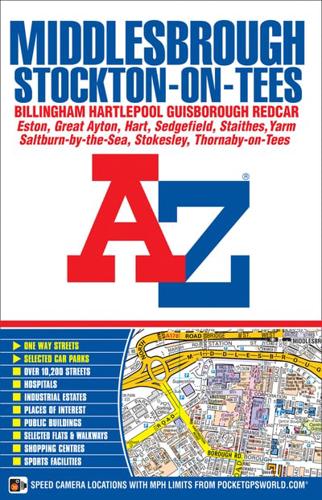
This AZ map of Middlesbrough, Stockton-on-Tees, Billingham, Hartlepool, Guisborough and Redcar is a full colour, paperback street atlas featuring 166 pages of mapping which extends to cover:•Hart StationSeaton CarewMarske-by-the-SeaSaltburn-by-the-SeaBrottonStaithesMoorsholmGreat AytonStokesleyKirklevingtonDurham Tees Valley AirportLong NewtonThornaby-on-TeesStillington (inset)Wynyard VillageElwickThere is also separate coverage of Sedgefield.Postcode districts, one-way streets, safety camera locations with maximum speed limits and the North York Moors National Park boundary are featured on the mapping.Also included is a double-page postcode map of the atlas area.The index section lists streets, selected flats, walkways and places of interest, place, area and railway stations. There is a separate list of hospitals and hospices covered by this atlas.


