
Publisher's Synopsis
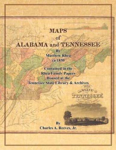
This book contains images of map sketches housed in the Rhea Family Papers in the Tennessee State Library and Archives. They are of counties in northern Alabama (Lauderdale, Franklin, Limestone, Lawrence, Morgan, and Jackson), and Tennessee (Anderson, Blount, Sevier, Campbell, Carter, Claiborne, Grainger, Greene, Hawkins, Jefferson, Cocke, Knox, Lincoln, Perry, and Shelby). It is believed they were used in preparation of a large detailed map of Tennessee published by Matthew Rhea in 1832, the earliest known detailed map of the state. A small image of that map is included in the book.


