Mapping Virginia

Mapping Virginia From the Age of Exploration to the Civil War

Hardback (30 Nov 2012)

  • $116.80
Add to basket

Includes delivery to the United States

10+ copies available online - Usually dispatched within 7 days

Publisher's Synopsis

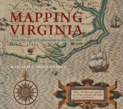
Moving from the years preceding Jamestown to the dawn of the postbellum era, this title represents the most comprehensive available selection of printed maps from Virginia's first three hundred years. Beginning with the first, tentative renderings of the mid-Atlantic coast in the 16th century, the book provides a detailed listing of the vast majority of the printed maps canvassing Virginia before 1830.

Book information

ISBN: 9780813932675
Publisher: University of Virginia Press
Imprint: University of Virginia Press
Pub date:
DEWEY: 911.755
DEWEY edition: 23
Language: English
Number of pages: xv, 376
Weight: 4510g
Height: 275mm
Width: 310mm
Spine width: 33mm