Mapping Graphic Navigational Systems

Mapping Graphic Navigational Systems

Revised Edition

Paperback (01 Sep 2008)

Not available for sale

Includes delivery to the United States

Out of stock

This service is protected by reCAPTCHA and the Google Privacy Policy and Terms of Service apply.

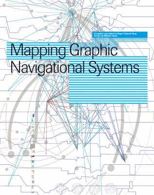
Publisher's Synopsis

This text offers a comprehensive study of all areas of cartography from nautical charts to subway systems, from websites to calendars. It reveals the visual language of location, direction, spatial and structural relationships which are central to the information design discipline.

Book information

ISBN: 9782888930365
Publisher: RotoVision
Imprint: RotoVision
Pub date:
Edition: Revised Edition
DEWEY: 526
DEWEY edition: 22
Weight: 1120g
Height: 290mm
Width: 228mm
Spine width: 18mm