Publisher's Synopsis
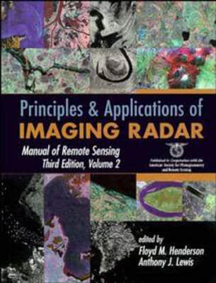
A benchmark one–volume reference to today's radar remote sensing principles and applications This second volume in the Third Edition of the Manual of Remote Sensing offers a current and comprehensive survey of the theory, methods, and applications of imaging radar for geoscientists, engineers, and application scientists interested in the advantages of radar remote sensing. Produced under the auspices of the American Society for Photogrammetry and Remote Sensing, it brings together contributions from experts around the world to discuss the basic principles of imaging radars and trace the research activity past, present, and future across the many sciences where radar remote sensing may be applied. This book offers an invaluable snapshot of radar remote sensing technology including radargrammetry, polarimetry and interferometry and its uses. It combines technical and procedural coverage of systems, data interpretation, and other fundamentals with generous coverage of practical applications in agriculture; forestry; soil moisture monitoring; geology; geomorphology and hydrology; oceanography; land use; land cover mapping; urban analysis; and archeology. Organized for quick access to topics of particular interest, this volume is important reading for researchers and professionals in many fields that can benefit from the use of radar remote sensing techniques.


