Publisher's Synopsis
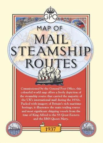
Commissioned by the General Post Office in 1937, by the time MacDonald Gill completed 'Mail Steamship Routes' he was already a renowned designer and illustrator. This bright and lively world map depicts the Royal Mail steamship routes that carried the majority of the UK's international mail during the 1930s, framed by some delightful illustrations of the transport links through which the post would pass. A series of eleven images tracing the development of sailing vessels from the time of King Alfred to the RMS Queen Mary is bound to appeal to enthusiasts of maritime history, and also included is an introduction by an employee of the British Postal Museum Archive. (Map measures: 620 x 768mm)