Publisher's Synopsis
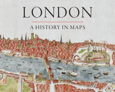
Over the past two thousand years London has developed from a small town, fitting snugly within its walls, into one of the world's largest and most dynamic cities. This beautifully illustrated book charts that growth and the city's transformation through hundreds of maps culled from the collection of the British Library's Map Library.
These visual records range from sweeping images of the entire city to nuanced studies of its elements and neighborhoods. Including official documents, individual endeavors, hand-drawn renditions, and technologically advanced replicas, these maps represent a variety of perspectives. Utilitarian maps show the city as it is and serve to elucidate its inner workings, while carefully wrought plans show the city as it was envisioned-whether those plans were executed or not.
The maps and panoramas collected here are more than topographical records. They all convey unique insight into the concerns, assumptions, ambitions, and prejudices of Londoners at the time the maps were created. In addition to offering readers a tour of London past and present, this book reveals the inside story of the creation, growth, and change of one of the world's greatest cities.