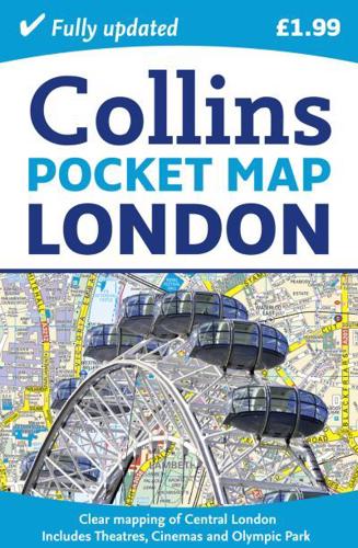
Publisher's Synopsis
Handy little full colour map of central London with a high level of detail. Clear mapping of central London from Regent's Park in the North to Kennington in the South and Kensington Gardens in the West to Tower Bridge in the East at a scale of 1:12,500 (5 inches to 1 mile). Inset maps of Olympic Park, West End shopping and theatres also included.Clear, detailed, full colour mapping is presented in a handy format ideal for the pocket or handbag. It is excellent value at only £1.99 and covers the most visited area of central London.INCLUDES• Inset map of the new Olympic Park.• Full central area map detail.• Theatres and Cinemas map.• Shopping Map.• Tube Map.• The latest congestion zone boundary.AREA OF COVERAGECentral London from Regent's Park in the North to Kennington in the South and Kensington Gardens in the West to Tower Bridge in the East.WHO THE PRODUCT IS OF INTEREST TOEssential for the short term visitor or day tripper or anyone visiting London on a tight budget.