
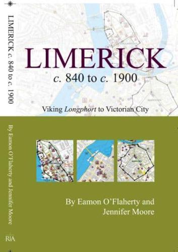
Publisher's Synopsis
This is an ancillary publication to the enthusiastically received volume on 'Limerick' by Eamon O'Flaherty. A transportable booklet that lends itself to strolling the city, enclosed is a large fold-out map capturing 264 sites over 1000 years of the city's history. Streets are colour coded to show the development of the city from a conjectural Viking settlement, to the vast rectilinear network of streets and warrens of lanes of the eighteenth and nineteenth centuries. Limerick's walls and defences are illustrated alongside the principal topographical sites ranging from St Mary's Cathedral, ball alleys, bacon manufactories and Turkish baths, to schools, prisons, tower houses, markets and monuments. An introductory essay is included in the booklet that is intended to give readers a full flavour of Limerick's past. Many of the sites documented are no longer extant, but will enlighten anyone's interest in the city's multilayered past. This is ancillary publication to Irish Historic Towns Atlas, no. 21, Limerick, by Eamon O'Flaherty. Authors: Eamon O'Flaherty, Jennifer Moore; Cartography: Sarah Gearty Series editors: Anngret Simms, H.B. Clarke, Raymond Gillespie, Jacinta Prunty; Consultant editor: J.H. Andrews; Cartographic editor: Sarah Gearty; Editorial assistants: Angela Murphy, Jennifer Moore, Anne Rosenbusch


