
Publisher's Synopsis
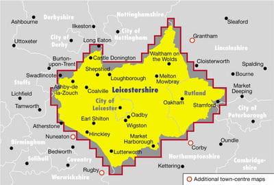
Showing every street in Leicestershire, this atlas is prepared by the Ordnance Survey. The scale is 3 miles per inch and the atlas includes a route planner, school locations, and emergency services locations.
Hardback (01 Jun 2000)
Not available for sale
Includes delivery to the United States
Out of stock
Showing every street in Leicestershire, this atlas is prepared by the Ordnance Survey. The scale is 3 miles per inch and the atlas includes a route planner, school locations, and emergency services locations.
| ISBN: | 9780540078547 |
| Publisher: | Octopus |
| Imprint: | Philip's |
| Pub date: | 01 Jun 2000 |
| DEWEY: | 912.4254 |
| DEWEY edition: | 21 |
| Number of pages: | 304 |
| Weight: | 935g |
| Height: | 275mm |
| Width: | 194mm |
| Spine width: | 21mm |
$1.76off

Paperback
Published 01 Feb 2023
Save $1.76
$7.43off

Hardback
Published 19 Oct 2023
Save $7.43
$1.15off

Paperback
Published 01 Jun 2023
Save $1.15


