
Publisher's Synopsis
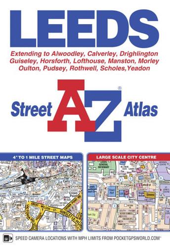
This A-Z map ofLeeds includes coverage of Guiseley, Yeadon, Rothwell, Morley and Pudsey. There are 56 pages of continuous street mapping extending to:•Alwoodley•Birkenshaw•Calverley•Holme Village•Outwood (part)•Rawdon•Scholes•Shadwell•Swillington•West Ardsley•WoodlesfordAlso included is a large scale city centre map of Leeds.Postcode districts, one-way streets and safety camera locations with maximum speeds are featured on the mapping.The index section lists streets, selected flats, walkways and places of interest, place, area and station names, hospitals and hospices covered by this atlas.


