
Publisher's Synopsis
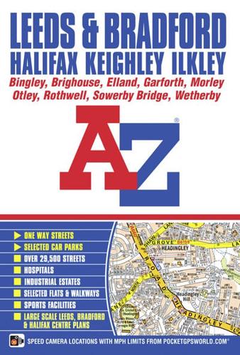
This A-Z map of Leeds and Bradford is a full colour, paperback street atlas featuring 156 pages of continuous street mapping which includes coverage of:•Ilkley•Otley•Yeadon•Keighley•Bingley•Shipley•Horsforth•Wetherby•Pudsey•Garforth•Halifax•Sowerby Bridge•Brighouse•Morley•RothwellIn addition, there are large scale city/town centre maps of Leeds, Bradford and Halifax.Postcode districts, one-way streets, park and ride sites and safety camera locations with their maximum speed limit are featured on the street mapping.The index section lists streets, selected flats, walkways and places of interest, place, area and station names. There is a separate list of hospitals and hospices covered by this atlas.On the outside back cover is a Leeds and Bradford Rail Connections map.


