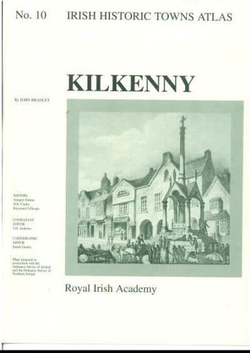
Publisher's Synopsis
Number 10, Kilkenny, is the first publication of a city in the 'Irish Historic Towns Atlas' series. Kilkenny contains a topographical information section that lists historical and archaeological details of almost 2,000 sites and an essay, all tracing the evolution of the city. Special maps include a large colour reconstruction of the city in c. 1842; the Down Survey map of c. 1655; a map depicting the growth of the city up to 1758 and the value of houses in 1850; John Rocque's map in 1758; views of the city by Francis Place, c. 1698 and Thomas Mitchell, c. 1760; and three Ordnance Survey maps showing Kilkenny in its surroundings, the modern city and an extract from the large scale town plan, 1841. A number of small black and white maps are dotted through the text section. Photographs of High Street and Kilkenny Castle offer a window onto the atmosphere of the city in c. 1900, and an aerial view represents the city in more modern times. Maps, plates and text are all bound in an A3 folder. Author: John Bradley; Series editors: Anngret Simms, H.B. Clarke, Raymond Gillespie; Consultant editor: J.H. Andrews; Cartographic editor: Sarah Gearty