
Publisher's Synopsis
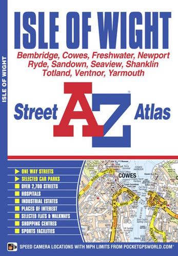
This A-Z Map of the Isle of Wight is a full colour, paperback featuring 56 pages of continuous street mapping covering the whole island.Postcode districts, one-way streets and safety camera locations with their maximum speed are featured on the mapping.There is a 4 page 'Tourist Information' section about the history of the island and its topography with 'Travel & Transport' details on mainland ferries, island buses, railways and cycle routes.The index section lists streets, selected flats, walkways and places of interest, place, area, station, hospital and hospice names covered by this atlas.


