
Publisher's Synopsis
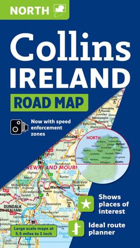
Clear, colourful, large scale road map at 5.5 miles to 1 inch (1:350,000 approx) of the north of Ireland. Ideal for touring and route planning. Fully updated with all the latest road changes for 2009 and now including Blue Flag and Green Coast beaches.MAIN FEATURESThis is the northern sheet of a two sheet map series of Ireland. The 5.5 miles to 1 inch mapping is packed with information but is extremely clear and easy to follow.INCLUDES• Heights shown by attractive layer tints.• Spot heights.• All motorways, classified roads and most minor roads.• Shows toll roads.• Places of interest shown by attractive tourist symbols.• Distances between major settlements shown in both miles and kilometres.• Full index to place names and places of tourist interest.• Blue Flag and Green Coast beaches.AREA OF COVERAGEThis sheet map covers the north of Ireland, extending as far south as Galway and Dublin.WHO THE PRODUCT IS OF INTEREST TOAn essential purchase for anyone motoring around the northern part of Ireland.


