
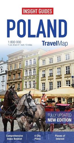
Publisher's Synopsis
Travel Map Poland is a double-sided, indexed, road map at 1:800 000. It includes detailed city plans of Krakow and Warsaw together with plans of Prague in the Czech Republic and Bratislava in Slovakia, each city has its own separate listing in the attached index.
Places of interest including nature reserves, national parks, museums, monuments and religious site are listed and depicted by a wide range of pictorial symbols for instant recognition, these symbols have been colour coded by category.
In addition to the road and rail networks this map provides an overview of the topography through the use of relief shading, with mountain and hill ranges named and peak heights given.
Handy distance indicators, located in the margin, give distances to the nearest town, major locations and motorway junction, if applicable. Intermediate driving distances are given on main roads.
The extensive legend is shown in 8 languages.


