Publisher's Synopsis
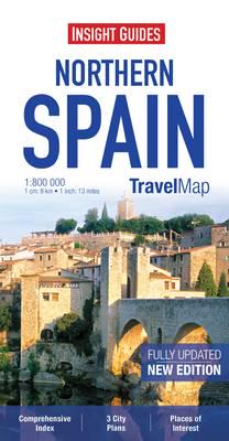
Travel Map Northern Spain is an indexed, road map at 1:800 000. It includes detailed city plans of Barcelona, Bilbao & Madrid, each with its own separate index.
Places of interest, including national parks, nature reserves and heritage sites, are listed and depicted by a wide range of pictorial symbols for instant recognition. These symbols have been colour coded by category.
In addition to the road and rail networks, ferry routes and airports, this map provides an overview of the topography through the use of relief shading, with mountain ranges named and peak heights given. An inset chart gives additional information regarding access restrictions, altitude and tolls on mountain passes and tunnels in the Pyrenees.
Handy distance indicators, located in the margin, give distances to the nearest town, major locations and motorway junction, if applicable. Intermediate driving distances are shown on main and secondary roads.
The extensive legend is shown in 8 languages.


