
Publisher's Synopsis
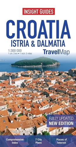
Travel Map Croatia - Istria & Dalmatia is a double-sided indexed, road map at 1:300 000. It includes detailed city plans of Dubrovnik, Rijeka, Split, Zagreb, Ljubljana in Slovenia and Trieste & Venice in Italy, each plan has its own index listing.
Places of interest including National Parks, wildlife reserves, monuments and castles are listed and accompanied by a wide range of pictorial symbols for instant recognition. These symbols have been colour coded by category.
In addition to the road and rail networks, ferry routes and airports, this map provides a detailed picture of the topography through the use of relief shading - many mountain ranges are named and peak heights shown.
This map has handy distance indicators in the margin giving distances to the nearest town, major locations and motorway junction, if applicable, intermediate driving distances are given on main roads. The extensive legend is shown in 8 languages.


