Publisher's Synopsis
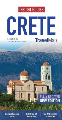
Travel Map Crete is an indexed, road map at 1:200 000. It includes a detailed city plan of Heraklion with its own index.
A map of Southern Greece and the Cyclades is also included, at a scale of 1:800 000. This map has handy distance indicators in the margin giving distances to the nearest town, major locations and motorway junction, if applicable. Intermediate driving distances are shown on main roads.
Beaches, tourist attractions and many points of interest are listed and accompanied by a wide range of pictorial symbols for instant recognition. These symbols have been colour coded by category. Website addresses are given for most entries. Place names are shown in both Greek and the Roman alphabet
In addition to the road networks, ferry routes are marked. An inset map shows an overview of the ferry network around Greece and the Islands, together with operator contact details.
The extensive legend is shown in 8 languages.


