
Publisher's Synopsis
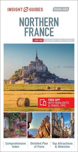
Insight Guide Travel Map Northern France:
This detailed travel map is all you need to plan your route and navigate your way around Northern France, and also includes area highlights, top attractions, places of interest, street plans, and a fabulous free app.
· Travel Map Northern France is drawn to scale and shows the entire country, complete with a comprehensive index
· Ideal for planning your route, and on-the-road-exploring
· Includes free app, with top travel tips, and additional area highlights
· Features detailed street plans of Paris
· Outlines Top Attractions and places of interest, including national parks, nature reserves and heritage sites
· Handy distance indicators, located in the margin, give distances to the nearest town and major locations
· Shows roads, rail networks and ferry routes
· Pictorial symbols allow for instant, easy recognition
· Detailed topography, through the use of relief shading, with mountain ranges named, and peak heights given
· Legend shown in eight languages
About Insight Guides: Insight Guides is a pioneer of full-colour guide books, with almost 50 years' experience of publishing high-quality, visual travel guides with user-friendly, modern design. We produce around 400 full-colour print guide books and maps, as well as phrase books, picture-packed eBooks and apps to meet different travellers' needs. Insight Guides' unique combination of beautiful travel photography and focus on history and culture create a unique visual reference and planning tool to inspire your next adventure.


