
Publisher's Synopsis
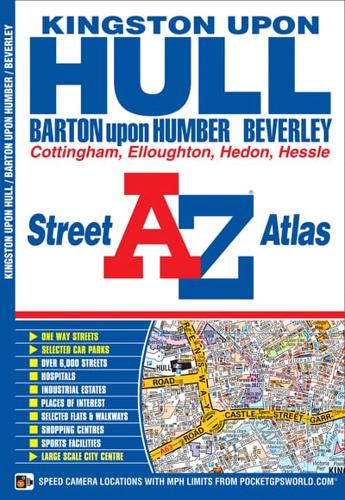
This A-Z map of Kingston upon Hull features 56 street map pages extending to:•Beverley•Woodmansey•Wawne•Coniston•Sproatley•Preston•Hedon•Hessle•Barton-upon-Humber•Barrow-upon-Humber•Goxhill•North Ferriby•Elloughton•South Cave•Swanland•SkidbyAlso included are inset maps of North Cave, Walkington, New Holland and Thorngumbald and a large scale map of Kingston upon Hull.Postcode districts, one-way streets and safety camera locations with maximum speeds are featured on the maps.The index section lists streets, selected flats, walkways and places of interest, place, area and station names, hospitals and hospices covered by this map.


