Publisher's Synopsis
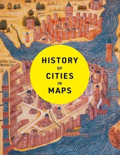
The city: a concept nearly as old as history itself, it is a paradox of human innovation and intervention, order and conflict. From ancient civilizations to modern-day metropolises, maps have played a crucial role in urban progress. This book explores the development of cities through more than 70 captivating maps.Each map in this beautifully designed volume gives a unique visual representation of and historical context to the city it surveys. Spanning more than 9,000 years, this book expertly curates more than 70 historical maps which tell the fascinating story of human civilization: from cities founded on sacred places, ideas and power, to early examples of town planning and later innovations such as skyscrapers and urban transport.Featuring maps of renowned capital cities as well as lesser-known urban areas, including:Mohenjo-Daro, c. 2500 BCBabylon, c. 600 BCRome, c. 210 ADBaghdad, 762 ADConstantinople, 1422Tenochtitlan, 1524Dublin, 1610Kyoto, 1626New Amsterdam, 1660Edinburgh, 1780Adelaide, 1838Lagos, 1885Los Angeles, 1908Brasilia, 1957Chongqing, 2016Dubai, 2020An ideal book for map and history lovers. For more in this series try History of World Trade in Maps (9780008409296) and History of War in Maps (9780008506490).