
Publisher's Synopsis
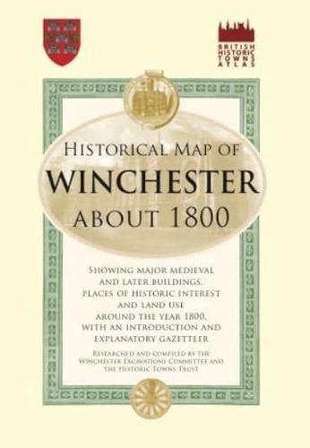
The cathedral city of Winchester has played many significant roles over its long history: an ancient capital of Wessex, a Saxon stronghold, the birthplace of the Domesday Book, and a centre of the medieval wool trade. This map, drawn up by the Historic Towns Trust, gives a snapshot of Winchester in 1800 and highlights the legacies of this illustrious heritage. As well as reconstructing the geography of the Georgian city, it indicates the construction dates of notable buildings and features of the urban landscape. It is an invaluable tool for local historians and genealogists, as well as those with an interest in the city's royal and ecclesiastical connections.


