
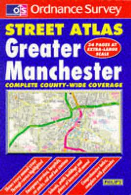
Publisher's Synopsis
This street atlas (2.5 inches:1 mile) of Greater Manchester includes rural areas, villages, and urban districts. Principal routes are colour coded and numbered, and postcodes for every named street have been indexed. Hospitals, schools, and public buildings are among the amenities indicated.


