
Publisher's Synopsis
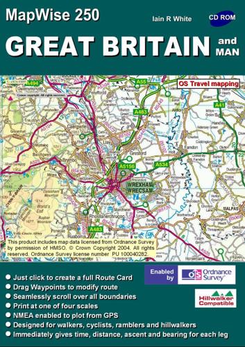
This work covers all Great Britain on a scale of 1:250,000, travel and miniscale maps from Shetland to Scilly Isles on CD. It contains route plan on all map formats including the 3D crinkle feature, GPS, print out maps & route cards, Height data and grid location continuous to cursor position, Gazetteer & Post Codes access. User is able to plan routes, route-cards and map printing, GPS, easy download and upload. It presents time and schematic profile of the route. It offers choice of on-screen magnification. It operates on Windows 95 to XP and MAC with Virtual PC, no graphics card is required. Seamless Integration with all relevant ISYS Outdoors Hillwalker, and PhotoMaps, and MapWise Explorer products.


