
Publisher's Synopsis
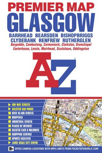
This A-Z Premier Map of Glasgow is a full colour, single sided street map covering an area extending to:•Bearsden•Bishopbriggs•Lenzie•Muirhead•Bargeddie•Uddingston (part)•Carmunnock•Whitecraigs•Barrhead•Renfrew•ClydebankAlso included is a large scale city centre map of Glasgow.Postcode districts, one-way streets, safety camera locations with maximum speed limits, subway (SPT) stations and park and ride sites are featured on the street mapping.Attached to the cover is an index booklet which lists streets, selected flats, walkways and places of interest, place, area and junction names, national rail and subway (SPT) stations. Also included is a separate list of hospitals and hospices covered by this map.


