Glacier and Waterton Lakes National Parks Exploring Map Guide

Glacier and Waterton Lakes National Parks Exploring Map Guide

Sheet Map (folded) (01 Jul 2007)

Not available for sale

Includes delivery to the United States

Out of stock

This service is protected by reCAPTCHA and the Google Privacy Policy and Terms of Service apply.

Publisher's Synopsis

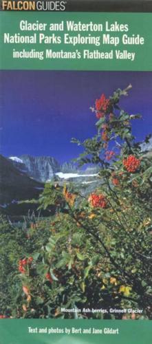
Glacier and Waterton Lakes National Parks Exploring Map is a full-color, topographic map of Glacier and Waterton Lakes National Parks, layered with information on hiking, biking, camping, fishing, birding, backcountry travel, and more. What will set this apart from its competitors is its descriptive information on trails, flora and fauna, and points of interest, useful for those interested in exploring the national park.

Book information

ISBN: 9780762743452
Publisher: Falcon Guides
Imprint: FalconGuides
Pub date:
Language: English
Number of pages: 2
Weight: 86g
Height: 233mm
Width: 109mm
Spine width: 10mm