
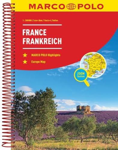
Publisher's Synopsis
Marco Polo France Marco Polo Road Atlas: the ideal atlas for your trip Pack your Marco Polo France Road Atlas for effortless touring across this glorious country. Packed with information this atlas includes: High quality mapping - clear, easy-to-read cartography will help you plan your trip with ease. Also includes distance indicators and scale converters. Practical spiral binding - makes it easy to use in your car, campervan or RV and to cross-refer from section to section. Fold-out overview map - ideal for journey planning and getting an overview of the route you plan to take. Marco Polo Zoom system also included - all large urban areas marked on the main maps are cross-referenced to separate transit maps zooming in on the city. Zoom in even further with detailed city maps. Scenic routes and places of interest are highlighted - if you need to get to a particular destination, or you fancy a lazy meander along beautiful tree-lined roads, away from the motorways and freeways, our scenic routes will help make your journey part of your trip. Comprehensive index of place names - perfect for pinpointing your destination quickly. Super clear cartography - the scale is 1 : 300 000. Trust Marco Polo's France Road Atlas with its super clear mapping, thorough street index and scenic routes to guide you around this beautiful part of Europe.


