
Publisher's Synopsis
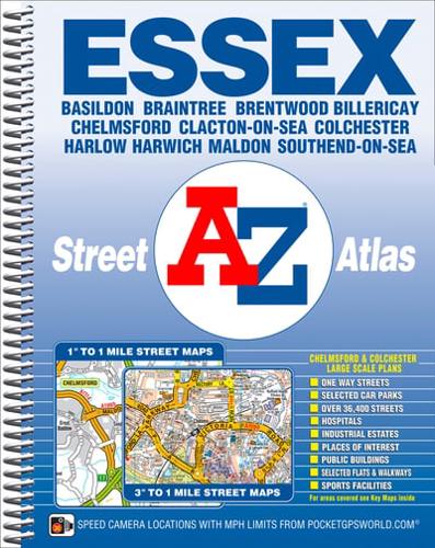
This A-Z map of Essex is a full colour, spiral bound street atlas featuring complete countywide coverage in one volume. The atlas contains 224 pages of coloured street mapping and covers the county in two sections:Section 1:Main road mapping at a scale of 1 inch to 1 mile; the mapping includes the whole of the Essex administrative area.Section 2:Street mapping at a scale of approximately 3 inches to 1 mile; this detailed mapping extends to cover all the major towns and villages throughout the county and includes one-way streets.In addition, there are large scale city/town centre maps of Chelmsford and Colchester.Both scales of street mapping feature postcode districts, safety camera locations with their maximum speed limit, and the Greater London Low Emission Zone Boundary.Also included is a postcode map of Essex.The index section gives references for both sections of the atlas and lists streets, selected flats, walkways and places of interest, junctions, place and area names and National Rail stations. There is a separate index to hospitals and hospices.


