Publisher's Synopsis
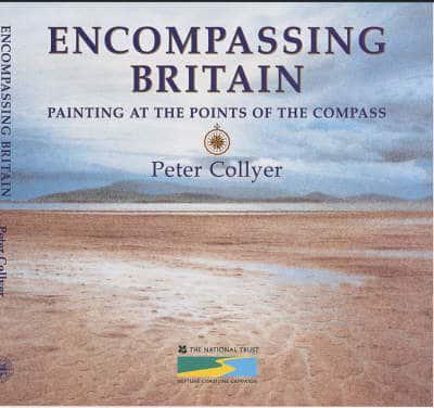
Taking the original compass card notation of 32 points calculated from the centre of Great Britain (two and a half miles South West of Clitheroe, Lancashire) Peter Collyer has produced a watercolour and commentary where each point dissects the coastline.