
Publisher's Synopsis
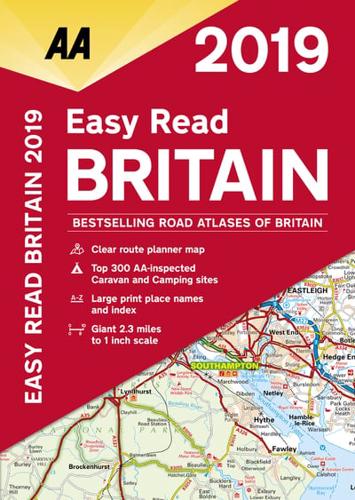
This A4 format atlas provides giant scale mapping and type throughout making it very easy to use. Each page has been titled with its geographical location so you can turn to the page you need more easily. Static speed camera locations with speed limits are pinpointed. Wide minor roads (more than and less than 4m wide), National Trust, English and World Heritage sites, crematorium and other hard-to-find places are also shown. There is also a full-color admin map showing all the latest unitary authority areas and a 6 page route-planning map. The paper in this atlas is produced from environmentally sustainable resources.


