
Publisher's Synopsis
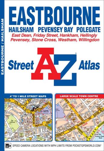
This A-Z map of Eastbourne is a full colour street atlas featuring 20 pages of continuous street mapping extending to include:•Hailsham•Polegate•Pevensey Bay•Willingdon•Langney•Beachy Head•East Dean and Friston (inset)A large scale town centre map of Eastbourne is also included.Postcode districts, one-way streets and safety cameras with speed limits are featured on the mapping.The index section lists streets; selected flats, walkways and places of interest; place, area and station names; hospitals and hospices covered by this atlas.


