Publisher's Synopsis
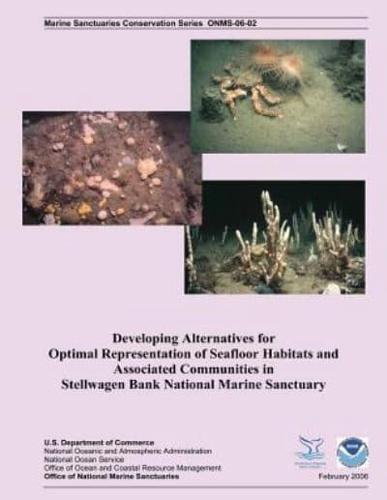
Recent studies on the continental shelf of the northeastern United States suggest that substrate and water mass characteristics are highly correlated with the composition of benthic communities and may therefore, serve as proxies for the distribution of biological biodiversity. A detailed geo-referenced interpretative map of major sediment types within Stellwagen Bank National Marine Sanctuary (SBNMS) has recently been developed, and computer-aided decision support tools have reached new levels of sophistication. We demonstrate the use of simulated annealing, a type of mathematical optimization, to identify suites of potential conservation sites within SBNMS that equally represent 1) all major sediment types and 2) derived habitat types based on both sediment and depth in the smallest amount of space.


