
Publisher's Synopsis
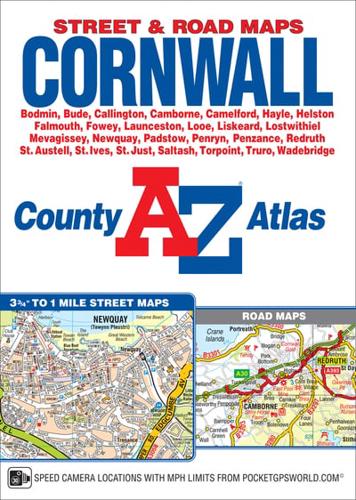
This A-Z map of Cornwall is a full colour, paperback county atlas featuring 156 pages of street mapping covering all major towns and villages within Cornwall.In addition, there are large scale city/town centre maps of Looe, St. Ives and Plymouth and 11 pages of road mapping covering the whole of the county.Postcode districts, one-way streets, safety camera locations with speed limits and park and ride sites are featured on the street mapping.The index section lists streets; selected flats, walkways and places of interest; park and ride sites; place, area and station names. There is a separate list of hospitals, NHS Minor Injury Units and hospices covered by this atlas.


