Publisher's Synopsis
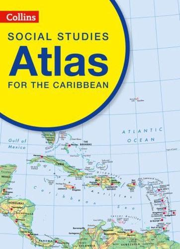
Prepared specifically to support social studies and geography courses at upper primary and lower secondary levels throughout the Caribbean.
The atlas is fully illustrated and includes the most up to date reference and thematic mapping of the countries within the Caribbean Community as well as the broader Caribbean region. Maps are fully supported with illustrations, photographs and data.
World maps cover international issues which have a bearing on Caribbean development.


