Collins Planners' Postcode Map of Great Britain and Northern Ireland

Collins Planners' Postcode Map of Great Britain and Northern Ireland

New edition

Sheet Map (rolled) (06 Sep 1999)

Not available for sale

Includes delivery to the United States

Out of stock

This service is protected by reCAPTCHA and the Google Privacy Policy and Terms of Service apply.

Publisher's Synopsis

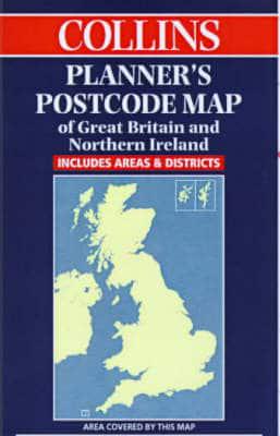
1:850,000 Planning map of Great Britain and Northern Ireland printed in two colours with postcode areas clearly shown.MAIN FEATURESClear planning map with postcode areas clearly shown in red on a grey base.INCLUDESSimplified base map in grey showing basic road network and administrative areas. Enlarged inset of major urban areas showing boroughs on the base map, superimposed by postcode areas.AREA OF COVERAGECovers Great Britain and Northern Ireland.WHO THE PRODUCT IS AIMED ATAimed specifically at the business user for planning purposes.

About the Publisher

Collins

Collins

Collins has been publishing educational and informative books for almost 200 years. Throughout this rich heritage we have maintained an impressive record in creating market-leading products across various sectors.

Book information

ISBN: 9780004490083
Publisher: HarperCollins Publishers
Imprint: Collins
Pub date:
Edition: New edition
Language: English
Weight: 171g
Height: 914mm
Width: 1270mm
Spine width: 45mm