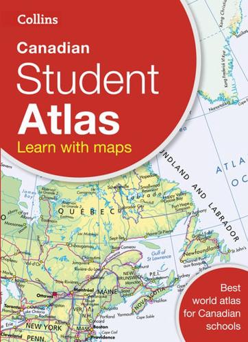
Publisher's Synopsis
An introductory atlas for secondary schools, perfectly designed to support and motivate geographical and mapping skills.This introductory atlas for secondary school students aged 11-14 is designed to help students develop map, atlas and data handling skills. The content adheres closely to the requirements of the Curriculum and incorporates results of classroom testing.Its clear and accessible layout will motivate pupils of all abilities. An easy to follow introductory 'map and atlas skills' section, useful for both teacher and pupil, is followed by clear, easy to read reference maps presented with locator maps, fact boxes and flags, descriptive text, detailed map keys and photos.Detailed reference and thematic mapping of Canada and its provinces provide perfect support material for social science subjects studies at secondary level.Carefully selected focus country studies include mapping on contrasting regions and special topics.The latest available country-by-country statistics are listed in a separate section and the index includes full latitude and longitude values.The world section covers all the global issues required by the National Curriculum e.g. climate change, population, biomes, earthquakes and volcanoes.