Publisher's Synopsis
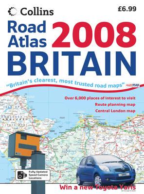
Scale: 4 miles to 1 inch.Large format road atlas of Britain complete with a range of town centre plans.Detailed road maps of the whole of Great Britain accompanied by a range of town and city centre street plans. The large page format makes the atlas particularly easy to use as a large section of the journey can been seen at one time.Road maps include:Fixed speed camera locations.Average speed cameras highlighted.Wide range of places of tourist interest.Ferry routes.Park and Ride locations.Administrative boundaries.Toll roads.Seaside destinations.Surfing beaches.Blue flag beaches.Range of street maps included in the atlas:Aberdeen, Birmingham, Bradford, Brighton, Bristol, Cardiff, Coventry, Derby, Edinburgh, Exeter, Glasgow, Hull, Leeds, Leicester, Liverpool, London, Manchester, Newcastle upon Tyne, Nottingham, Plymouth, Portsmouth, Sheffield, Southampton, Stoke-on-Trent and York.There is also a route planning map of Ireland at 17.5 miles to 1 inch with city centre plans of Belfast and Dublin.


