
Publisher's Synopsis
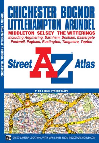
This A-Z map of Chichester, Bognor Regis, Littlehampton and Arundel is a full colour street atlas featuring 42 pages of mapping which extends to include:•Goodwood House•SlindonAngmeringAngmering-on-SeaRustingtonMiddleton-on-SeaFelphamPaghamBoshamFishbourneThere is separate coverage of East Wittering, West Wittering and Selsey.Postcode districts, one-way streets and safety camera locations with their maximum speed limit are featured on the street mapping.The index section lists streets, selected flats, walkways and places of interest, place, area and station names, hospitals and hospices covered by this atlas.


