Publisher's Synopsis
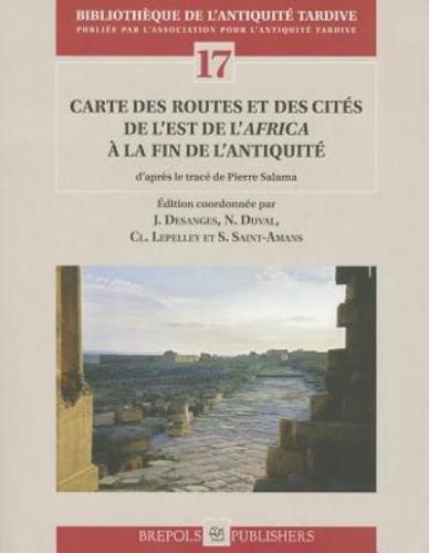
n 1951, Pierre Salama published a book in Algiers entitled Voies romaines de l'Afrique du Nord, which featured a map of the road network at the scale of 1:1 500 000, printed as soon as 1949. Fifty years later, a group of Africanists have decided to publish this new map using the layout that Pierre Salama had been working on since the 70s, based on overlays of the map of the French National Institute of Geography (IGN) at the scale of 1:500 000, but only for the western part of the Maghreb. The IGN printed this layout on a geographical mother map with colours, an indication of landforms and river system. The authors have also written an introduction providing the necessary information to the reader approaching road archaeology without former training. The sites identified on the map are dealt with in notes with varying degrees of detail. The notes give the Ancient and Modern names justifying the identification and location of each site. They also provide a summary of the main steps of their administrative history and describe the main archaeological remains for the different periods of occupation.